
|
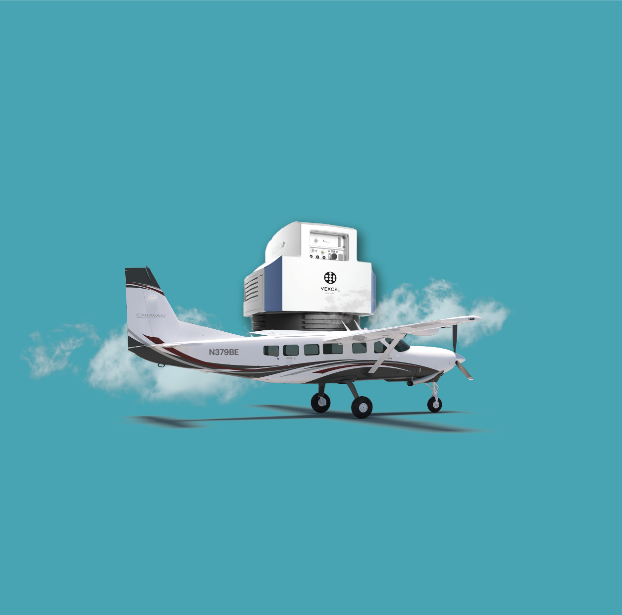
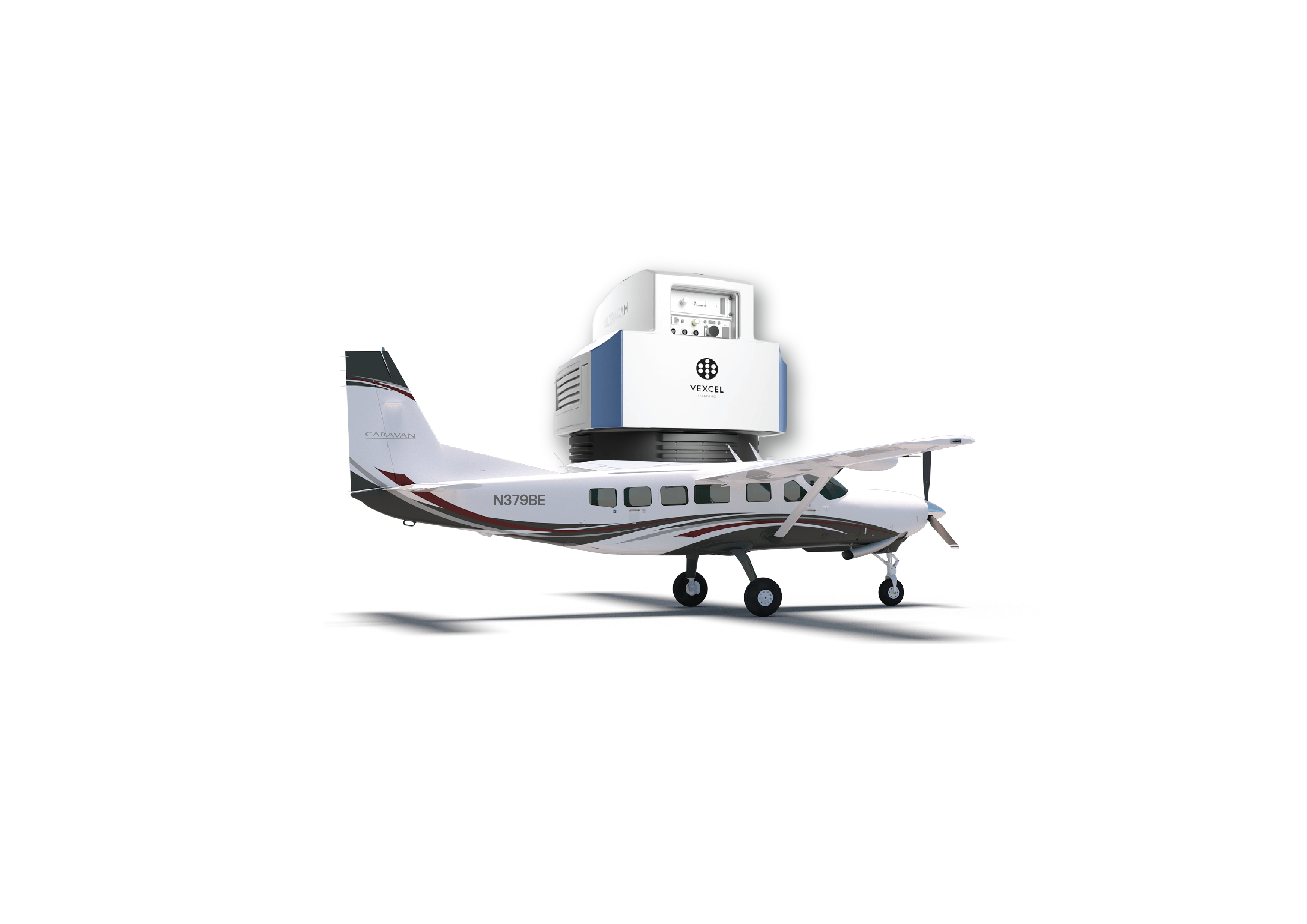
Aerial Imagery
Our Cessna Caravan equipped with a Vexcel Osprey 4.1 camera offers unmatched
aerial imaging capabilities for extensive geographic surveys.
Cessna Caravan Plane
Vexcel Osprey 4.1 Aerial Camera
|
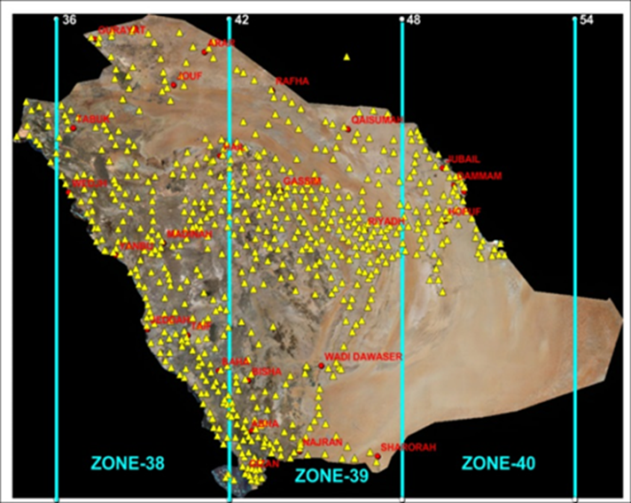
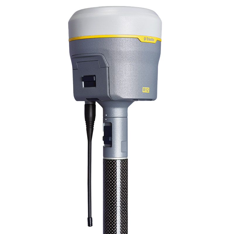
GNSS Receivers
With 36 state-of-the-art GNSS receivers, we ensure supreme accuracy in location
tracking and data collection across diverse terrains.
Trimble | R12i, R8-3, R6
SATLAB | SL900
Leica | GS14
FD Dynamics
|
|
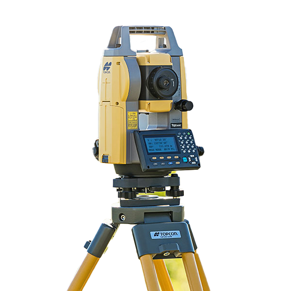
Total Stations
Our 5 high-precision total stations provide exact measurements for meticulous
surveying and construction projects.
Topcon | GM-52, GM-50, GM-101
SATLAB | TS10
|
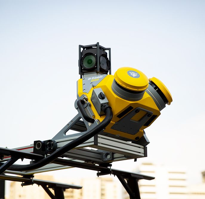
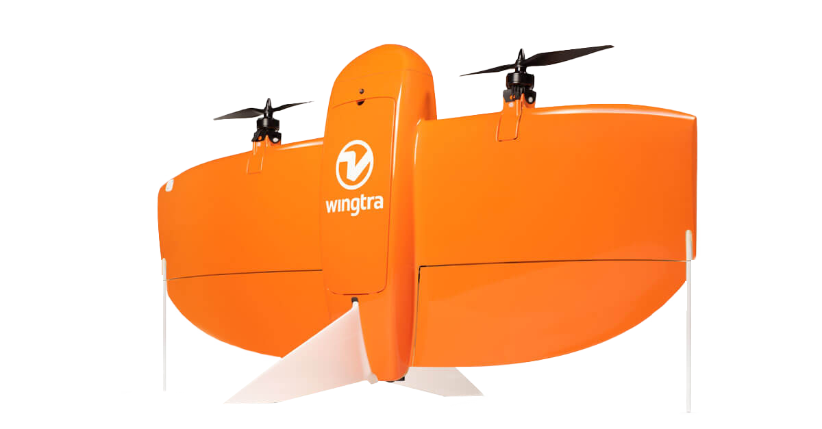
Drones
Our fleet of 18 versatile drones, ranging from DJI to Wingtra, delivers top-tier
aerial data for agriculture, urban planning, and environmental monitoring.
DJI Drones | DJI M300 Drones
Wingtra | Wingtra Fixed Wing
Leica | GS14
Sense Fly Ebee Plus |
Fixed Wing Drone
|
|
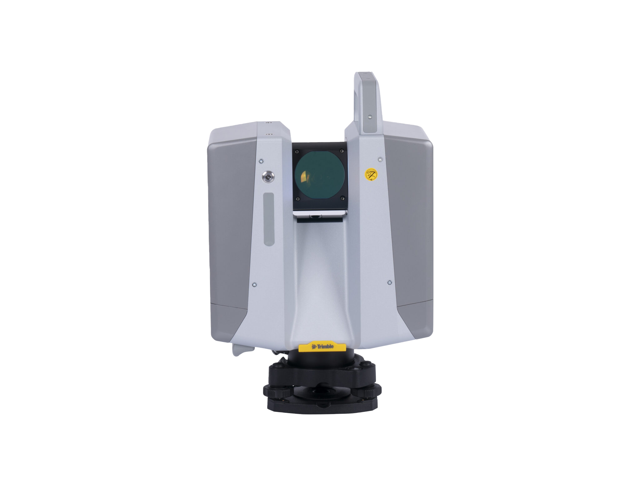
Scanners
Leveraging 3 advanced scanners, we offer detailed 3D modeling and terrain mapping
to facilitate accurate analysis and planning.
TMobile Mapping |
MMS Topcon IP-S3
Terrestrial Scanner |
Trimble X12
Leica | GS14
Handheld Scanner |
Leica BLK2GO
|
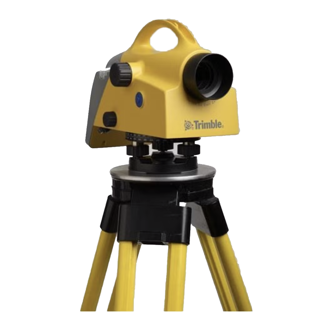
Instruments
Precision elevation control with our 4 Trimble's advanced leveling
instruments.
Leveling Instrument |
Trimble Digital Leveling
|
|
Comprehensive Software Licensing
Geotech Overseas maintains an extensive array of software licenses to support our
advanced geospatial and photogrammetry services. Our arsenal includes 25 licenses
for specialized photogrammetry software, 30 for top-tier GIS applications, 31 for
Microstation Connect to facilitate intricate engineering designs, and 44 for
DAT/EM Summit Evolution, enabling precise aerial mapping and analysis. These
resources underscore our commitment to delivering high-quality and precise outputs
across all projects.
|